| |
|
|
| Flag |
Coat of Arms |
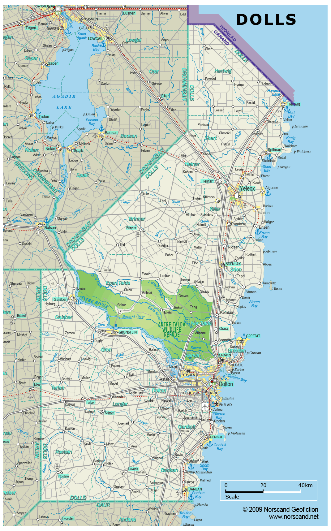
Location |
 |
 |
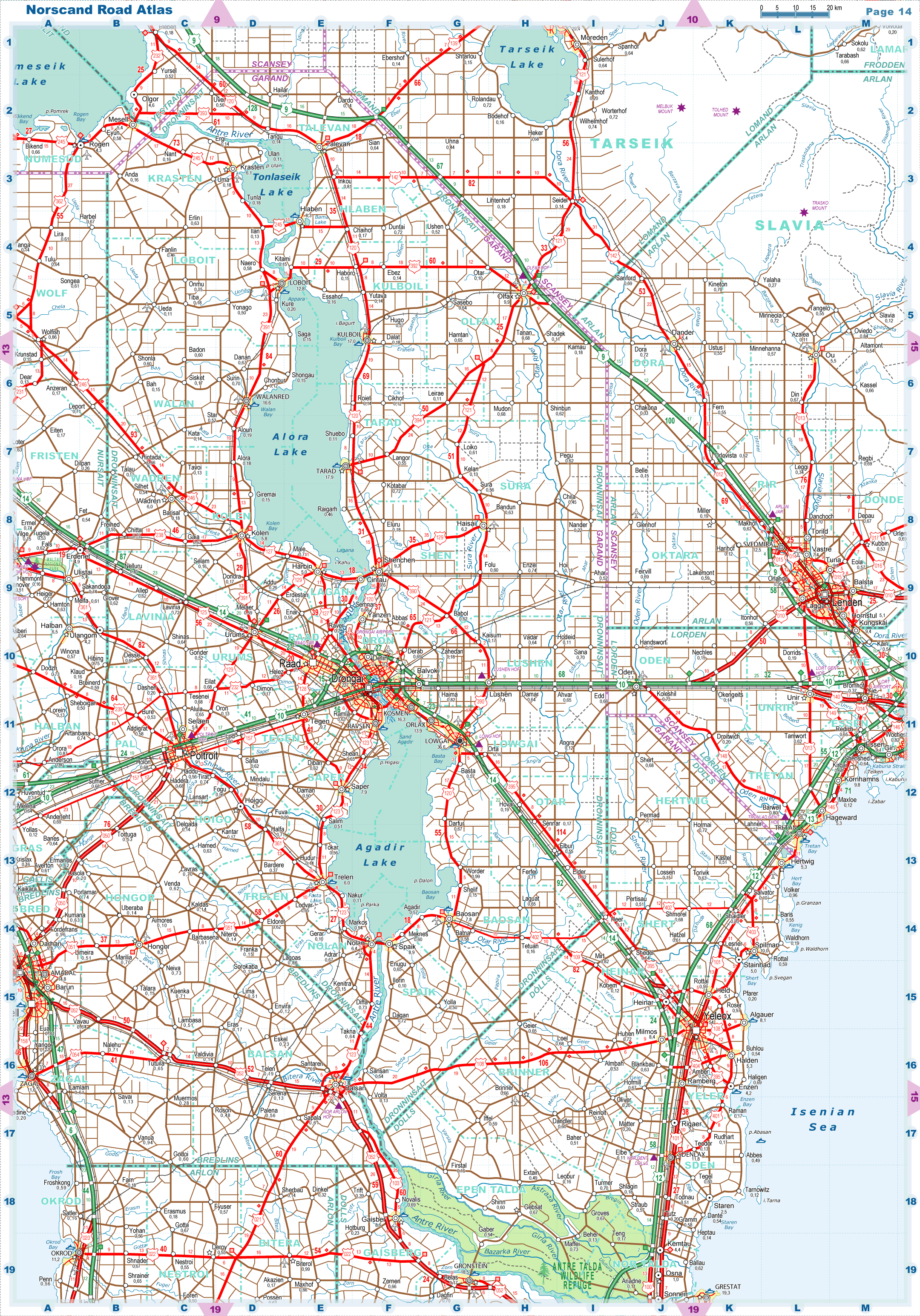
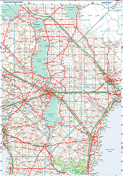
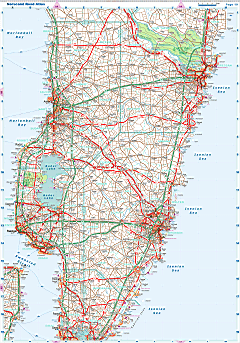
| Road maps for this area |
 |
 |
| |
|
| Location |
Northeastern Garand |
| Area |
 Continental Continental |
20 681 sq.km |
| Isles |
5 sq.km |
| Water bodies |
0 sq.km |
| Total |
20 687 sq.km |
| Rank in Garand |
2 of 35 |
| Rank in Norscand |
12 of 103 |
| Size comparision |
X |
| Boundaries |
| Land |
459 km |
| Coastal (w/o isles) |
498 km |
| Population |
| Total |
729 119 |
| Rank in Garand |
15 of 35 |
| Rank in Norscand |
27 of 103 |
| 5 Largest towns |
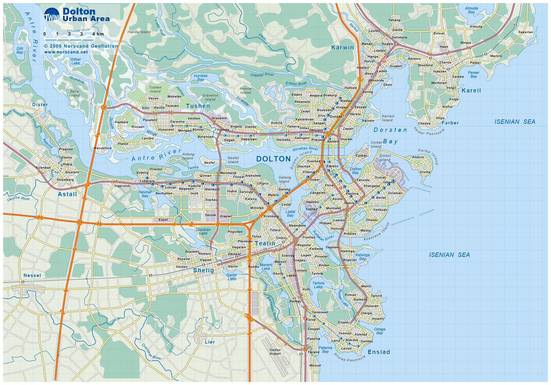
| Dolton |
276 166 |
| Yeleox |
53 582 |
| Tushen |
42 418 |
| Enslad |
35 298 |
| Karwin |
35 160 |
| Administrative division |
| # of districts |
19 |
| County seat |
Dolton |
| Transportation |
| Roadways: |
|
| Total length (paved, basic network) |
11 071km |
| Expressways |
995km |
| Road density |
0,54 km/sq.km |
| Share of expw |
9% |
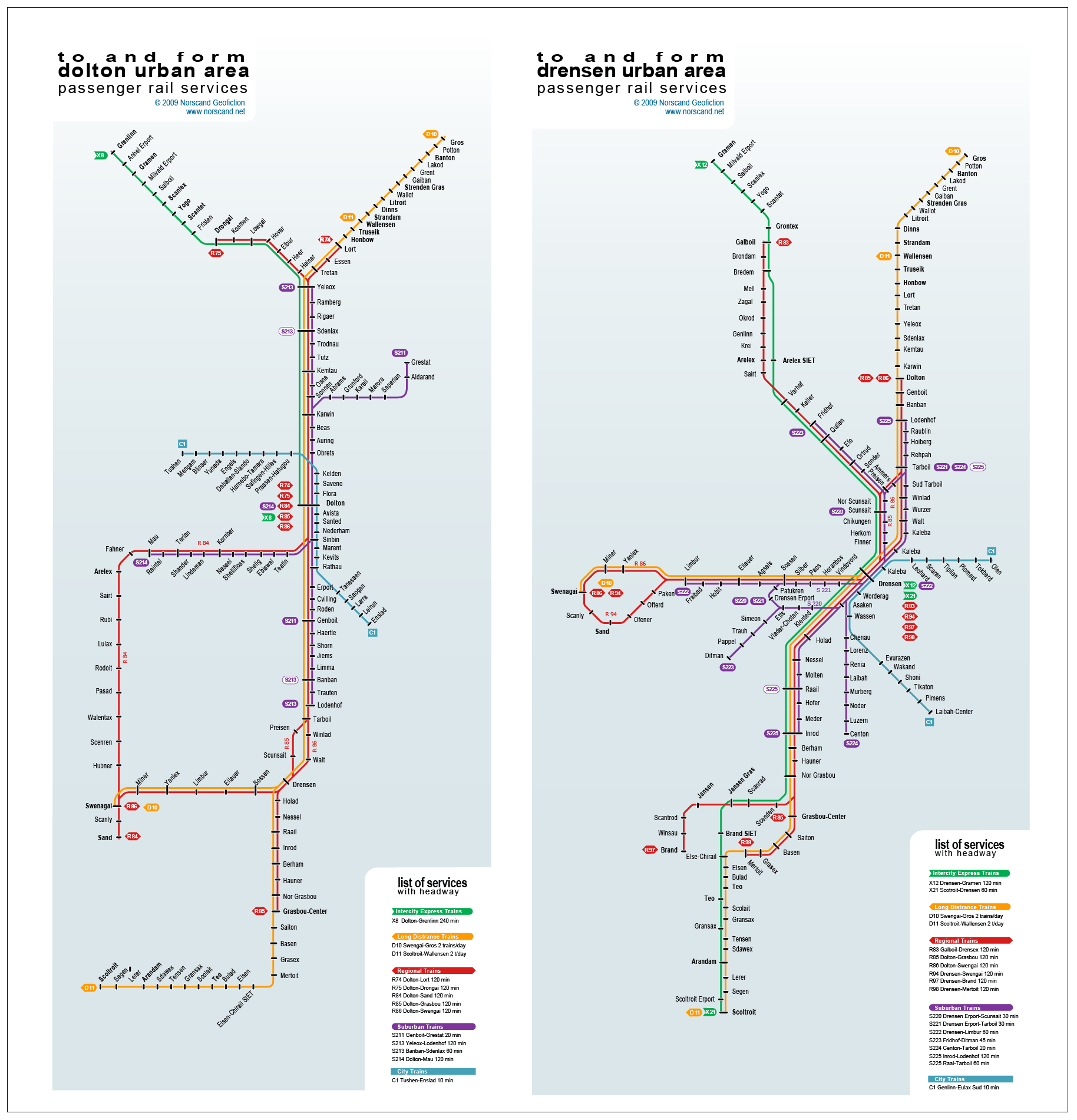
| Railways |
|
| Total length |
518km |
| High-Speed Lines |
0 km |
| Airports |
|
| Total |
11 |
| Sched.service |
1 |
| Seaports |
|
| Total |
10 |
 |
|
|
|