| |
|
|
| Flag |
Coat of Arms |
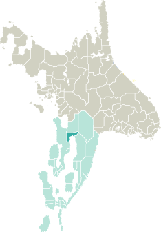
Location |
 |
 |
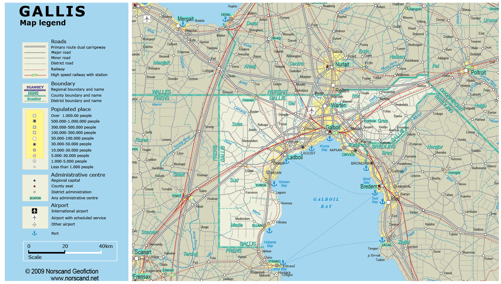
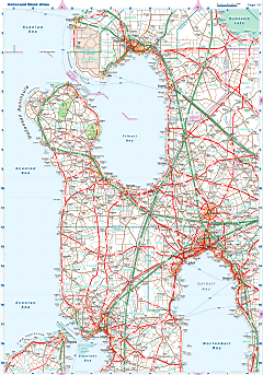
| Road maps for this area |
 |
|
| |
|
| Location |
Northern Garand |
| Area |
 Continental Continental |
5 233 sq.km |
| Isles |
0 sq.km |
| Water bodies |
0 sq.km |
| Total |
5 233 sq.km |
| Rank in Garand |
17 of 35 |
| Rank in Norscand |
55 of 103 |
| Size comparision |
X |
| Boundaries |
| Land |
310 km |
| Coastal (w/o isles) |
182 km |
| Population |
| Total |
778 286 |
| Rank in Garand |
12 of 35 |
| Rank in Norscand |
18 of 103 |
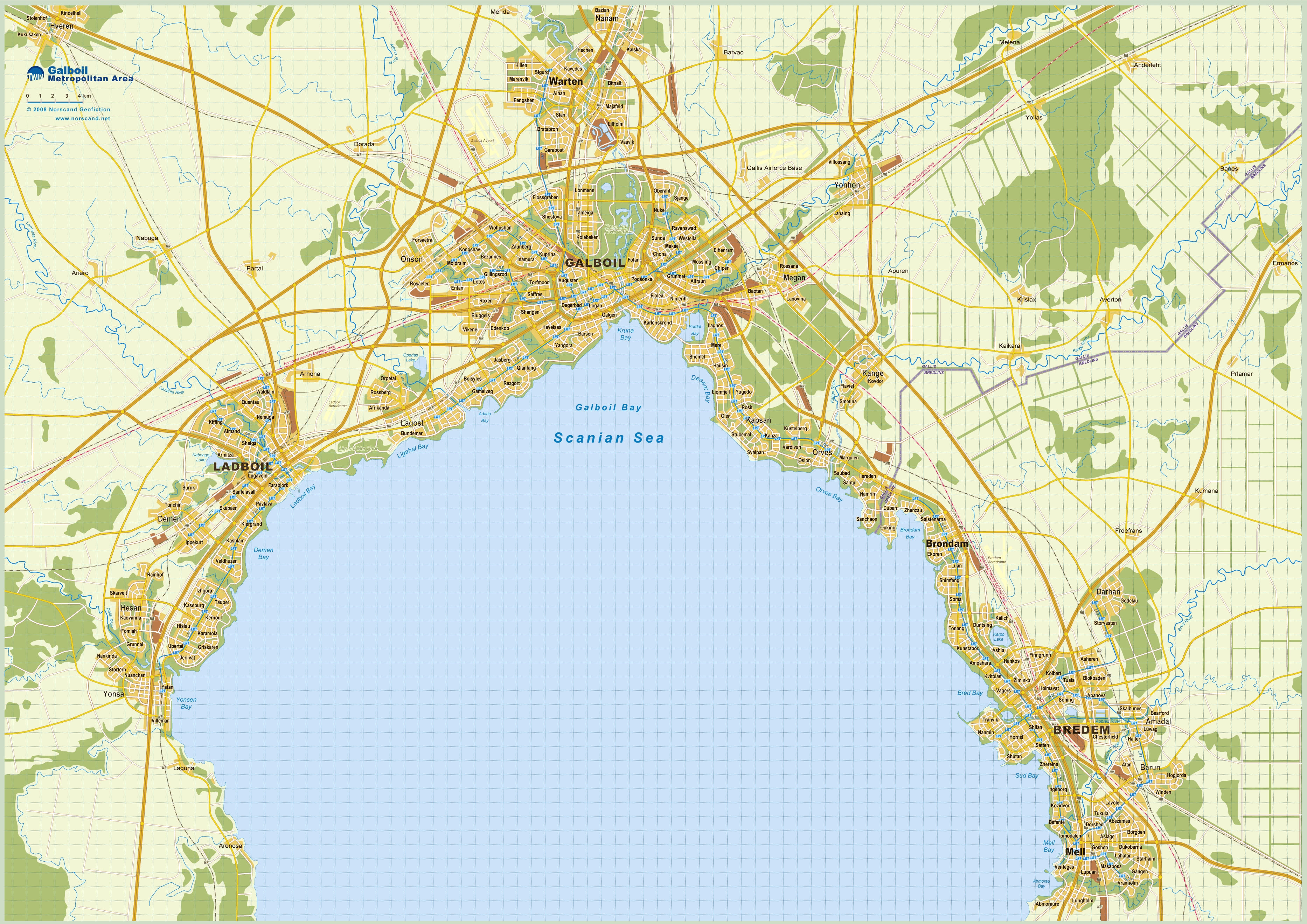
| 5 Largest towns |
| Galboil |
287 998 |
| Ladboil |
180 004 |
| Warten |
74 138 |
| Orves |
43 476 |
| Lagost |
39 438 |
| Administrative division |
| # of districts |
7 |
| County seat |
Galboil |
| Transportation |
| Roadways: |
|
| Total length (paved, basic network) |
2 488km |
| Expressways |
571km |
| Road density |
0,48 km/sq.km |
| Share of expw |
23% |
| Railways |
|
| Total length |
624km |
| High-Speed Lines |
162 km |
| Airports |
|
| Total |
2 |
| Sched.service |
1 |
| Seaports |
|
| Total |
6 |
| |
|
|
|