| |
|
|
| Flag |
Coat of Arms |
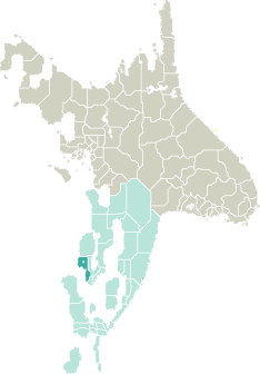
Location |
 |
 |
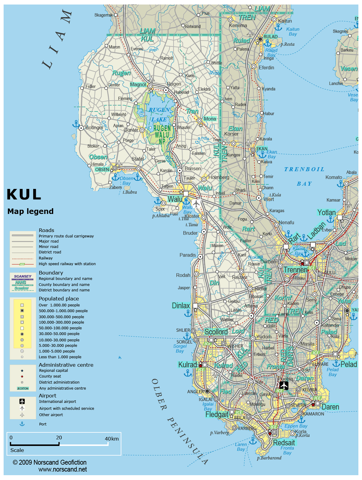
| Road maps for this area |
 |
|
| |
|
| Location |
Western Garand |
| Area |
 Continental Continental |
5 392 sq.km |
| Isles |
16 sq.km |
| Water bodies |
134 sq.km |
| Total |
5 542 sq.km |
| Rank in Garand |
16 of 35 |
| Rank in Norscand |
54 of 103 |
| Size comparision |
X |
| Boundaries |
| Land |
217 km |
| Coastal (w/o isles) |
286 km |
| Population |
| Total |
789 023 |
| Rank in Garand |
9 of 35 |
| Rank in Norscand |
19 of 103 |
| 5 Largest towns |
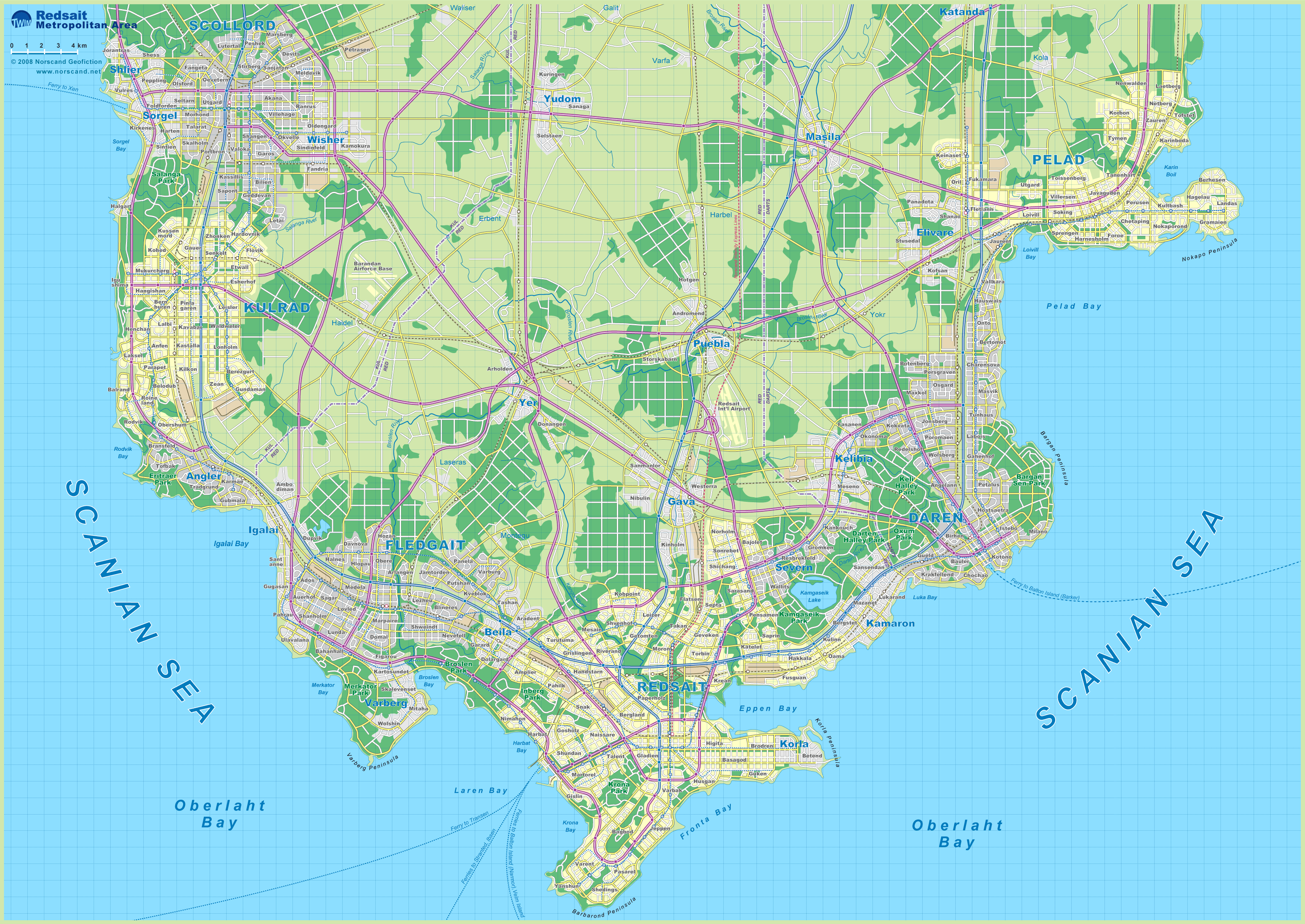
| Kulrad |
206 156 |
| Scollord |
163 196 |
| Walu |
97 918 |
| Dinlax |
89 906 |
| Angler |
39 246 |
| Administrative division |
| # of districts |
7 |
| County seat |
Kulrad |
| Transportation |
| Roadways: |
|
| Total length (paved, basic network) |
447km |
| Expressways |
491km |
| Road density |
0,08 km/sq.km |
| Share of expw |
110% |
| Railways |
|
| Total length |
351km |
| High-Speed Lines |
0 km |
| Airports |
|
| Total |
5 |
| Sched.service |
1 |
| Seaports |
|
| Total |
8 |
| |
|
|
|