|
You are here:Home |
|||||
| Norscand Geofiction Maps | |||||
| Opengeofiction Map Project | News | ||||
|
I would like to present to you a new collaborative platform for the creation of fictional maps: Opengeofiction.Net Using the tools of the Openstreetmap project. Opengeofiction offers, for everyone who would like to participate, the possibility to contribute to mapping a fictional planet. Interested? Then Find more information about the project and about other ways to participate here.
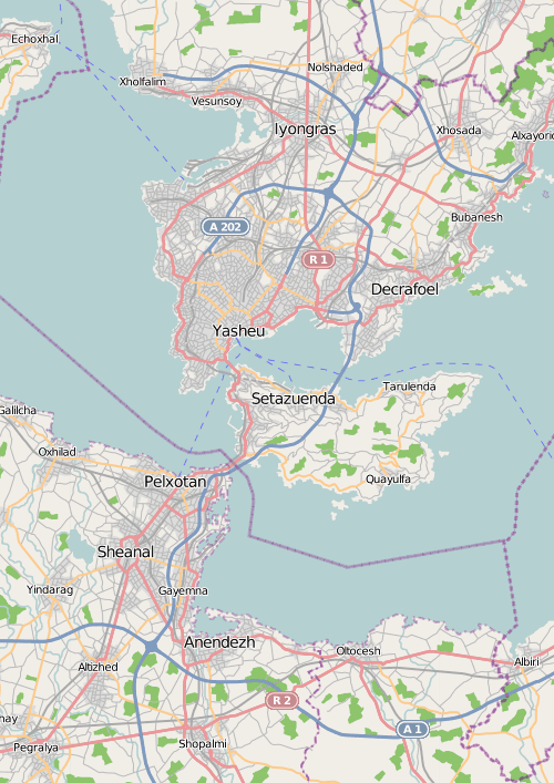
Examples for what it can look like. You already have a fictional country and/or city that you would like to place on the Opengeofiction planet? That’s wonderful! The free (green) areas at the overview map can still be changed a little bit, so that your imaginary country hopefully will find its place in one of the continents. Maybe you find an area that already has almost the same form as your fictional country (and is also located in the right latitude, so that the climate is like you imagine it for your country). Please, spread the word about it if you know other people who might be interested in knowing about the project – or even in participating. Me personally started working on 5 countries - Florescenta, Scandmark, Swaldia, Ingerland, Slavonia. I also plan to place ready maps of these countries and theirs cities on this site. Follow the Opengeofiction Project and updates on Norscand Geofiction!
|
||||
| © 2007-2018 Norscand Geofiction Maps | |